The Seacoast of New Hampshire continues to be impacted by flooding caused by intense climate change driven storms, storm surges, and sea level rise. These events threaten homes, businesses, infrastructure, and historic buildings such as those at the Strawberry Banke Museum in Portsmouth, New Hampshire. These threats have prompted multiple efforts to develop adaptation and mitigation plans to enhance resilience across the museum’s 10-acre and forty building campus, located on the shores of the Piscataqua River tidal estuary. Accurate documentation of the magnitude and timing of ground water induced flooding within the basements of the historic buildings at Strawberry Banke is needed to inform and develop resilience plans for the museum. In response to this need, this website provides access to graphs of data from a wireless water level sensing monitoring network to gain an understanding of these underlying environmental variables. Feel free to also visit the Strawberry Banke, Rowland Gallery to experience this data on a touch screen interface within the museum’s Water has a Memory exhibit. Data from the network is collected every 5 minutes and updated within these interfaces every hour.
Please choose an option from the above menu to explore the flood monitoring network via maps, and graph pages.
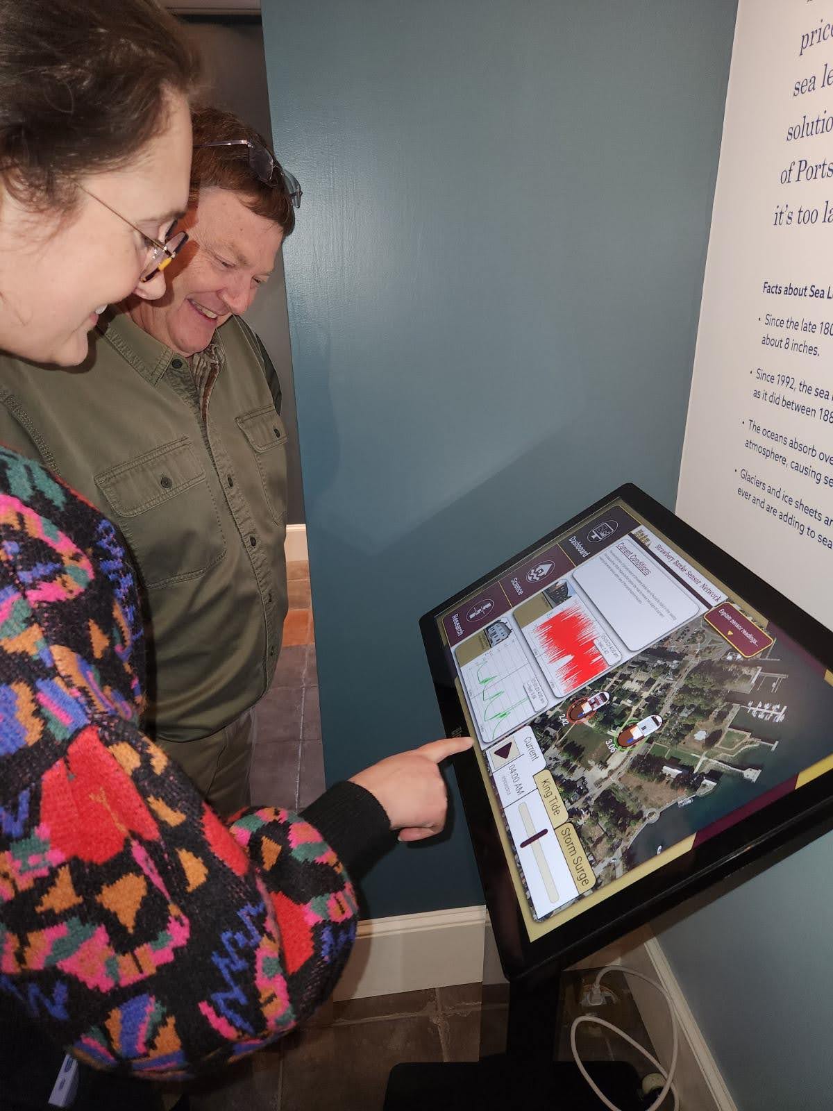
Strawberry Bank Sensor Network touch screen interface within the Rowland Gallery, Water has a Memory exhibit.